Poplar Stream Falls is a place I take a snowshoe run every year, usually at the beginning of the season when the snowpack isn't great yet for skiing and I am ready to start increasing my distances after a couple shorter snowshoe runs on my local trails. I recommend it to everyone, especially folks who are trying out new gear, are new to snowshoe hiking or running, or just want a gorgeous reward for a pretty straightforward effort. A loop or out-and-back is less than 4 miles, without much total elevation, and about 4.5 miles total when you factor the short walk on the road from your car to the trailhead.
To access the trails to the falls, park at the Carrabassett Valley town office and carry your snowshoes on the walk up Carriage Road to where the Maine Huts Trail crosses, a 7ish minute walk. Don't bother driving up Carriage Road: there is no parking at the trail crossing, private vehicles are not welcome beyond the gate during the winter (watch for log trucks as you walk!) and the neighbors are understandably tired of folks blocking driveways and the road. You came to take a walk in the woods, so walk.
When you reach the Maine Huts Trail*, it's time to put on your snowshoes. Although the trail welcomes multi-use, you'll immediately notice that hikers without snowshoes are spoiling the groomer's efforts. You came to snowshoe, so don't be that person! Moreover, if the snowpack has been good enough to allow the groomer to set cross-country ski tracks, stay out of them--they're for skiers only. This is about stewardship (setting tracks requires perfect conditions while fixing tracks after someone has walked in them is a much harder effort) but also safety--damaging the tracks can flip even an experienced skier who comes through next.
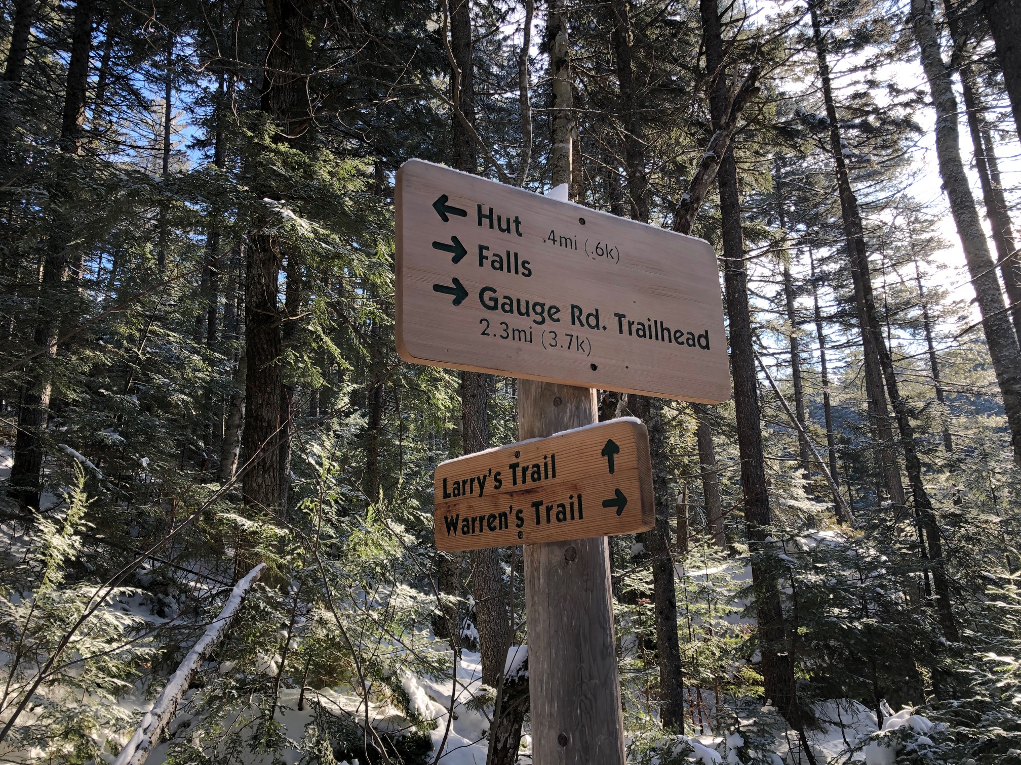
Your snowshoe run or hike to the falls will begin on the right (east) side of Carriage Road. Ignore Warren's Trail for now (you're likely going to return this way) and take the MHT over the bridge across Poplar Stream. From here you will climb fairly steadily for about half a mile, leaving the stream below. This is your longest climb, and especially here at the beginning of the run there's no shame in breaking it into intervals.
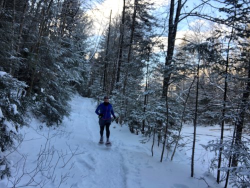
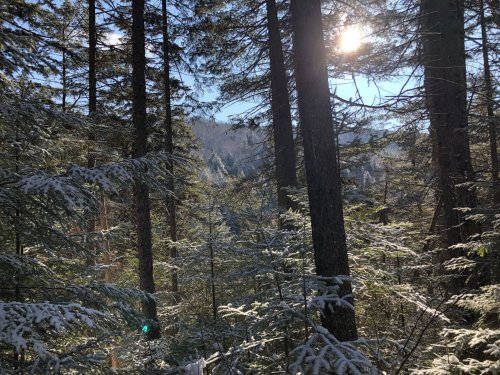
As the climb takes a bit of a plateau, you'll see Larry's Trail leave the MHT to the left, about half a mile from Carriage Road. This next mile of singletrack along Larry's Trail is one of my favorite places to snowshoe run. The trail is always well packed by my fellow users so I don't worry about the limited floatation of running snowshoes. The trail rolls and descends towards Poplar Stream which is mostly visible in the ravine, through the trees. When I was there earlier this week, I had the luxury of first tracks in an inch of fresh morning snow, so the footing was incredibly quiet. There are a couple blowdowns which can be easily climbed over snowshoed around. In fact, there's less environmental impact when you skirt around a blowdown on snowshoes because you are on snow, not the forest floor.
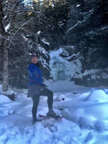
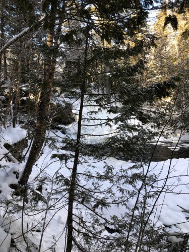
Larry's Trail will bring you directly to Poplar Stream Falls, which is likely to be iced over in winter. The ice formations are gorgeous and you can hear and sometimes see the water flowing beneath the ice. Hopefully you brought hot chocolate and a camera, because it's worth staying a while if you have the time. I've always had the place to myself, or myself and my running partner, even if I've encountered others on the trail. Heading out in the early morning or on weekdays definitely increases your chance of some lovely solitude in this spot. As you've likely notice by now, it's not too rigorous an effort to get here. This, combined with the beauty of the scenery, makes Poplar Stream Falls a little busy at the popular days and times for a hike.
Now, you have a choice for your return, to go back the way you came or to take Warren's Trail along the other side of Poplar Stream. I personally love making the loop, but I recommend retracing your steps back along Larry's Trail if
- You are starting to fatigue. Larry's Trail and the MHT are an easier way back.
- You will have difficulty picking your way over or around a significant series of blowdowns.
- It makes you nervous to take a trail less traveled, especially navigating a less-used trail
- You do not have snowshoes large enough to offer floatation if you are breaking trail.
- You are uncomfortable ascending or descending a short, steep pitch, as you will need to do both.
If you're ready to loop back along Warren's Trail, look for the trail ascending steeply, well to the left of the falls. There is a rock staircase under the snow which is sometimes discernible. This is short and steep. While I am comfortable keeping my snowshoes on and keeping my weight on my toes ascending this, beginners sometimes take their snowshoes off for the stairs. It's a little tight and steep, so that's totally fair. Full disclosure: I have never descended these stairs on snowshoes because I don't like the limited choices for foot placement. I choose to run this loop in the direction that I do so that I don't have to take my snowshoes off or come down this pitch on my butt.
At the top of the stairs, there's a sign where Warren's Trail branches off towards the left. This trail has seen a lot of damage from downed trees in this next section and many of them have fallen over the log bridges you'd normally use at a few smaller water crossings. It's possible to get through, but getting over and around these blowdowns is going to take more strength and agility than you used getting here. If you've got the confidence on your snowshoes, though, it's worth the work. Within a quarter mile, the trail will meet a road. Head left across on this road the bridge and then follow Warren's Trail to the left, back into the woods. Here you descend steeply: if you're having trouble, take this slope sideways or backwards. This allows you to keep your weight over the portion of your snowshoes with the best traction. If the snow is deep and well packed enough, you can run right down this. At the bottom, you get a view of a second, smaller cascade. If the ice allows, you can get a perfectly unobstructed view from below. Temperatures have been a little too warm to provide safe ice so far this year, so I settled for the view through the tress, which is still lovely.
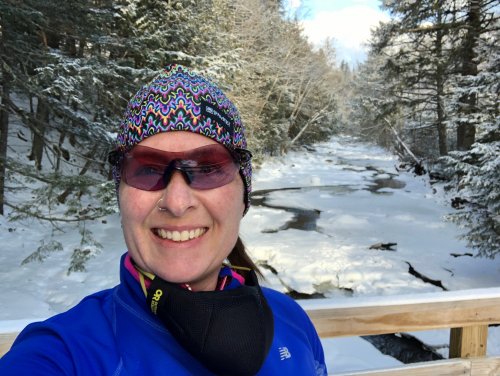
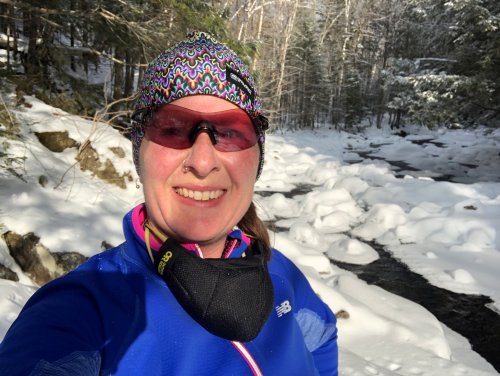
Warren's Trail continues downstream with some fine views across the ravine, eventually making it all the way down to the stream. Within a quarter mile of the cascade, the trail settles into much easier terrain. It hadn't seen much traffic before I went through, but because the snow isn't too deep yet, I could still run. It was tough in places, but ultimately still runnable. If you were on larger snowshoes, you'd be perfectly fine. Once you get down to the stream itself, you're in another one of Maine's beautiful places. It feels so wild and so intimate along the banks, and there are animal tracks everywhere.
Warren's Trail brings you eventually right back to where you put on your snowshoes. Just follow Carriage Road back down to your car. If your way home takes you through Kingfield, a chai at Orange Cat Cafe puts the perfect cozy punctuation on this adventure.
*A quick word about the Maine Huts and Trails network: COVID-19 has compounded the financial troubles already faced by the non-profit who manages and maintains the system. The huts are closed; they are not available for any kind of service or assistance, so please be mindful of this as you plan your adventure. It also means that you cannot expect the multi-use trails to be groomed with the same regularity as in prior years or that crews will have been able to maintain the trails or clear blow-downs. We're still welcome out there, but we need to have an expectation of self-sufficiency.


